
CoastSnap is a successful global initiative that is engaging the community in scientific and environmental research to monitor our changing coastline, and now it’s in Mandurah!
Calling all beach lovers and citizen scientists. You can help capture our changing coastlines. It’s easy and it’s fun!
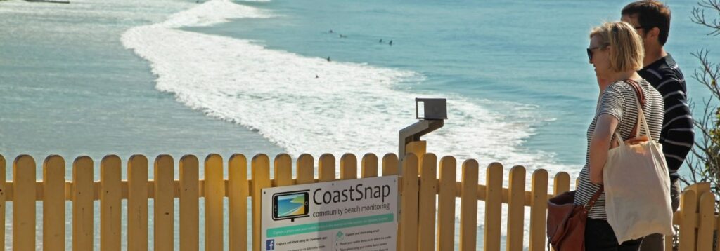
Visit one of the photo monitoring sites below and follow these simple steps:
- Snap a photo by placing your smartphone on its side in the stand/cradle and take a photo.
- Choose one of these methods to upload your photo:
– With your camera open, point at the QR code on the sign and follow the link to the database;
– Or download and use the free CoastSnap App.
👉 Madora Bay
👉 Henson Reserve, Silver Sands
👉 Doddies Beach, Halls Head
👉 Falcon Bay
The photos you upload are converted into valuable coastal data using a technique called photogrammetry.
Coastal scientists use this data to understand and forecast coastal changes caused by storms, rising sea levels, and more!
For more information visit peronnaturaliste.org.au/projects/coastsnap
Beach Protection
MEHG is looking for beach representatives, assistants and volunteers to help look after Mandurah’s beaches.
The Bouvard Coast Care Group is looking after the southern beaches by monitoring, planting, weeding and picking up rubbish.
Volunteers are needed for the northern beaches; north of the Dawesville Channel.
Please contact us if you are interested in helping at your local beach on an occasional or regular basis.
Find out about the City of Mandurah’s Coastal Hazard Risk Management and Adaptation Plan (CHRMAP) for the northern beaches.